Call Us 270-784-6083
Beyond Boundaries: Uncovering the Hidden Landscape with Topographic and Utility Mapping
A land survey does more than just define property lines – it reveals the intricate details of the land beneath your feet. At Hester Precision Surveys, we specialize in topographic and utility mapping, providing critical insights that go far beyond simple boundaries.
What is Topographic Mapping?
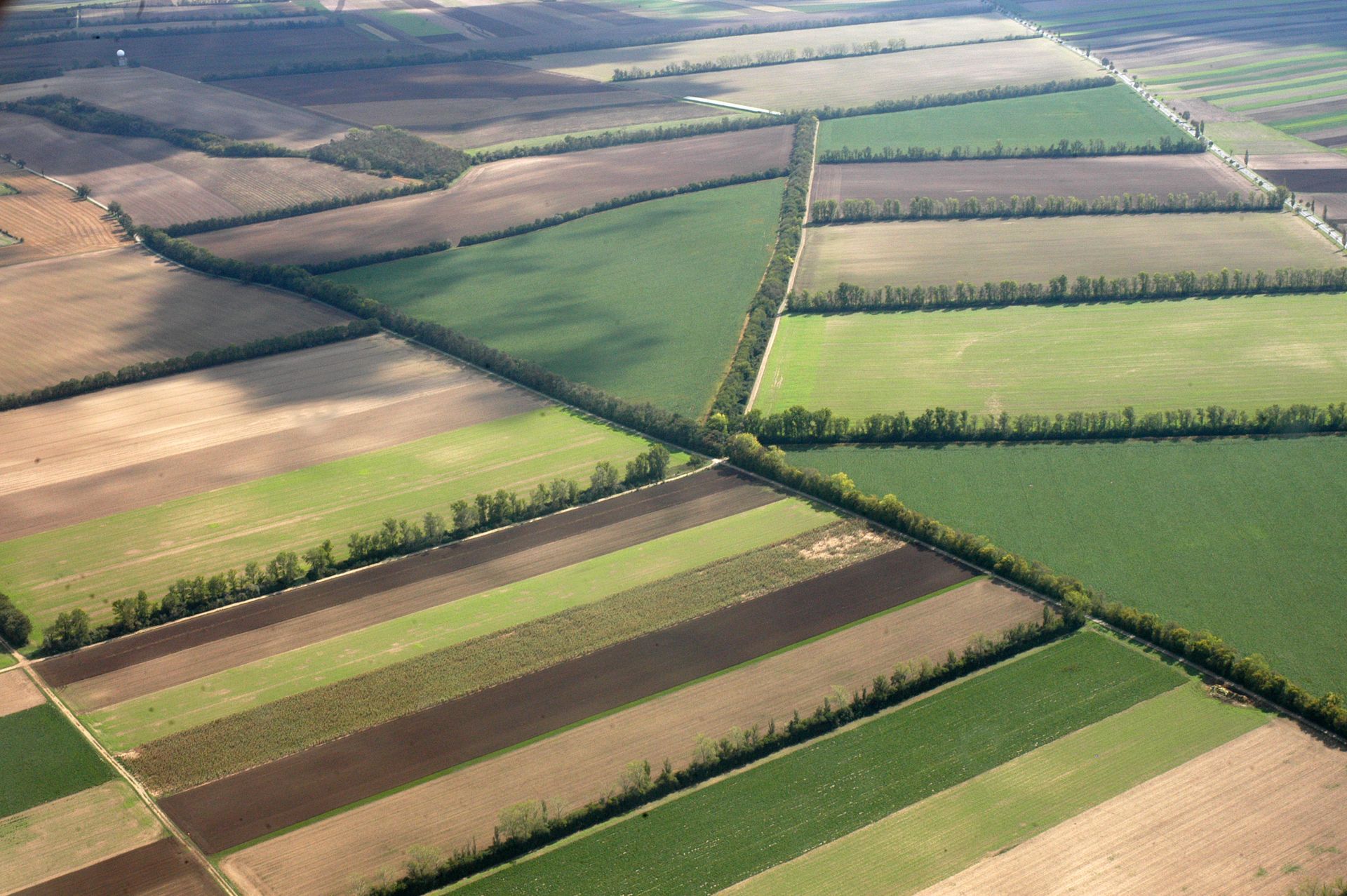
Topographic mapping is the art of creating a detailed 3D representation of the Earth's surface. It includes the elevation of the land, the location of natural features like hills, valleys, and bodies of water, as well as man-made structures like roads, buildings, and retaining walls. This comprehensive view of the landscape is essential for various projects, including:
- Site Planning and Design: Architects, engineers, and developers use topographic maps to plan construction projects, ensuring they fit seamlessly into the existing terrain.
- Environmental Assessments: Topographic maps help identify potential environmental hazards, such as flood zones, landslide-prone areas, and areas with sensitive ecosystems.
- Infrastructure Planning: Topographic data is used to plan roads, bridges, and other infrastructure projects, ensuring they are safe and efficient.
- Resource Management: Topographic maps are used to assess the availability of natural resources, such as timber, minerals, and water.
The Importance of Utility Mapping
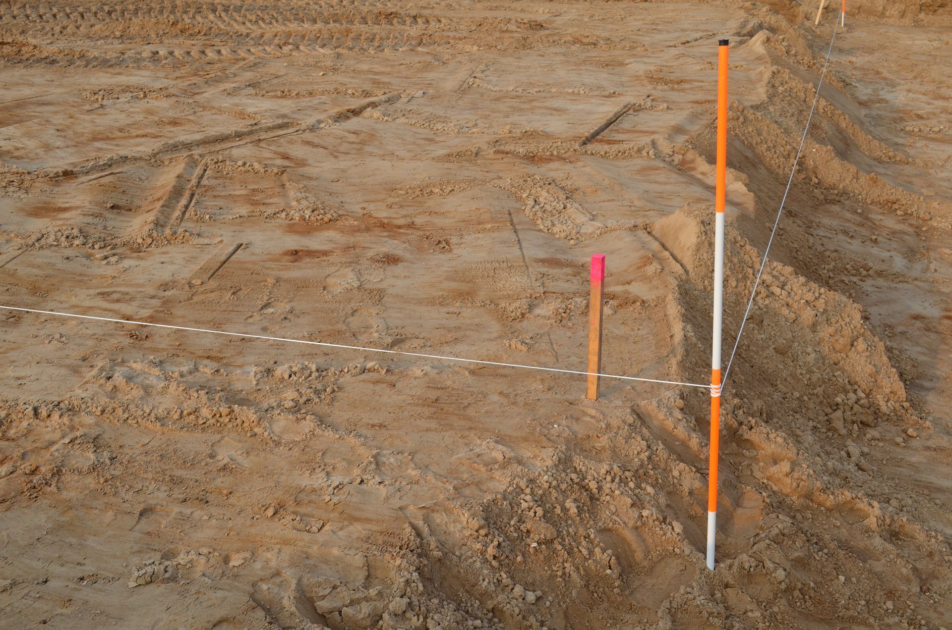
Beneath the surface of the land lies a complex network of utilities, including water pipes, sewer lines, gas lines, electrical cables, and communication lines. Utility mapping identifies the location of these buried assets, which is crucial for several reasons:
- Preventing Damage: Utility mapping helps prevent accidental damage during construction projects, avoiding costly repairs and potential safety hazards.
- Planning and Maintenance: Knowing the location of utilities allows for efficient planning and maintenance, minimizing disruption to services.
- Emergency Response: In the event of a utility outage or leak, utility maps can help emergency responders quickly locate the problem and take corrective action.
Hester Precision Surveys: Your Partner in Topographic and Utility Mapping
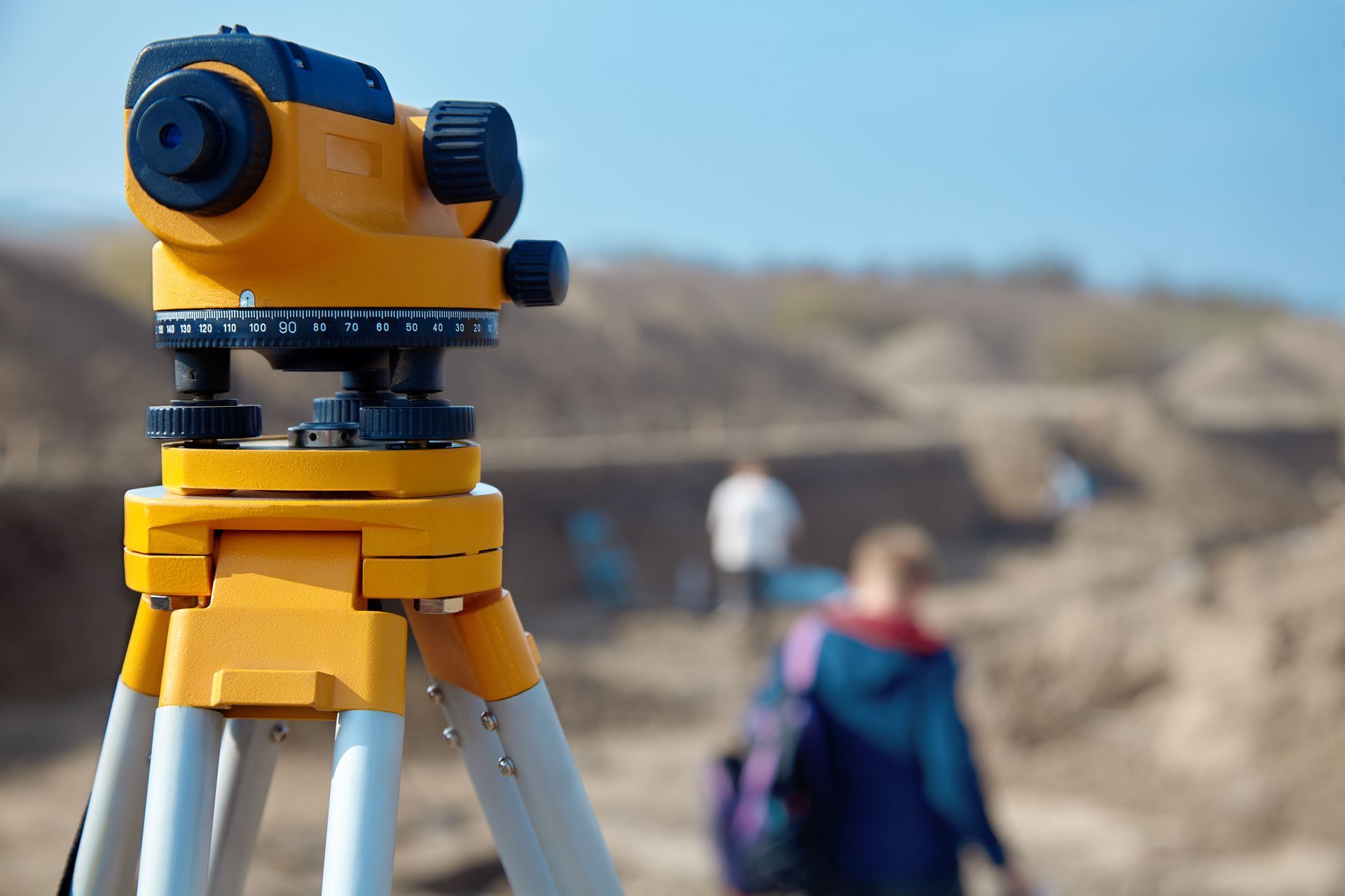
At Hester Precision Surveys, we use advanced technology and proven techniques to create accurate and detailed topographic and utility maps. Our team of experienced surveyors has the expertise to handle projects of any size or complexity.
Whether you're a developer planning a new subdivision, an engineer designing a road, or a homeowner considering a landscaping project, we can provide you with the information you need to make informed decisions.
Contact us today to learn more about our topographic and utility mapping services.


Proudly Powered by Winn Online