Blog Layout

How Do I Know Where My Property Line Is?

March 19, 2024

How to Determine the Location of Your Property Line: A Guide by Hester Precision Surveys

Are you a property owner in Bowling Green, KY, wondering where your property line is located? Knowing the exact boundaries of your land is crucial for various reasons, including property disputes, construction projects, and land use planning. In this comprehensive guide, Hester Precision Surveys will walk you through the steps to determine your property line accurately and efficiently.


1. Review Your Property Deed One of the first steps in identifying your property line is to review your property deed. Your property deed contains a legal description of your land, including boundary measurements and markers. Look for terms such as "metes and bounds" or "lot and block" descriptions, which provide detailed information about the boundaries of your property. If you have trouble understanding the legal description, consider seeking assistance from a professional land surveyor.


2. Look for Physical Markers Physical markers, such as iron pins, stakes, or fences, are often used to demarcate property lines. Take a walk around your property and look for these markers along the boundaries. Be mindful that over time, these markers may have become obscured or moved, so it's essential to verify their accuracy. If you encounter any discrepancies or are unable to locate physical markers, it may be time to consult a land surveyor for a more precise determination of your property line.


3. Utilize Public Records and GIS Mapping Public records and Geographic Information System (GIS) mapping can also be valuable resources in determining your property line. County assessor's offices typically maintain property records, including surveys, plats, and aerial imagery, which can help you visualize the boundaries of your property. Additionally, many counties offer online GIS mapping tools that allow you to view property boundaries and related information. While these resources can provide useful insights, it's important to remember that they may not always be entirely accurate or up-to-date.


4. Consult with Neighbors In some cases, neighboring property owners may have information about property lines that can be helpful in clarifying boundaries. Engaging in a friendly conversation with your neighbors about shared boundaries and potential discrepancies can lead to a better understanding of where your property line lies. However, it's essential to approach these discussions with respect and open communication to avoid misunderstandings or conflicts.


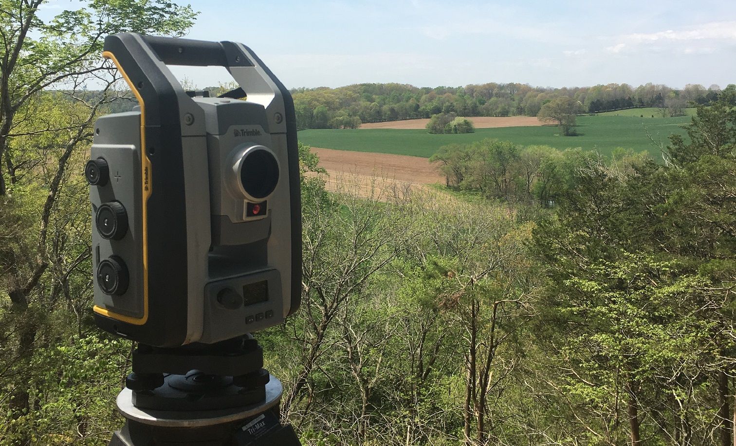
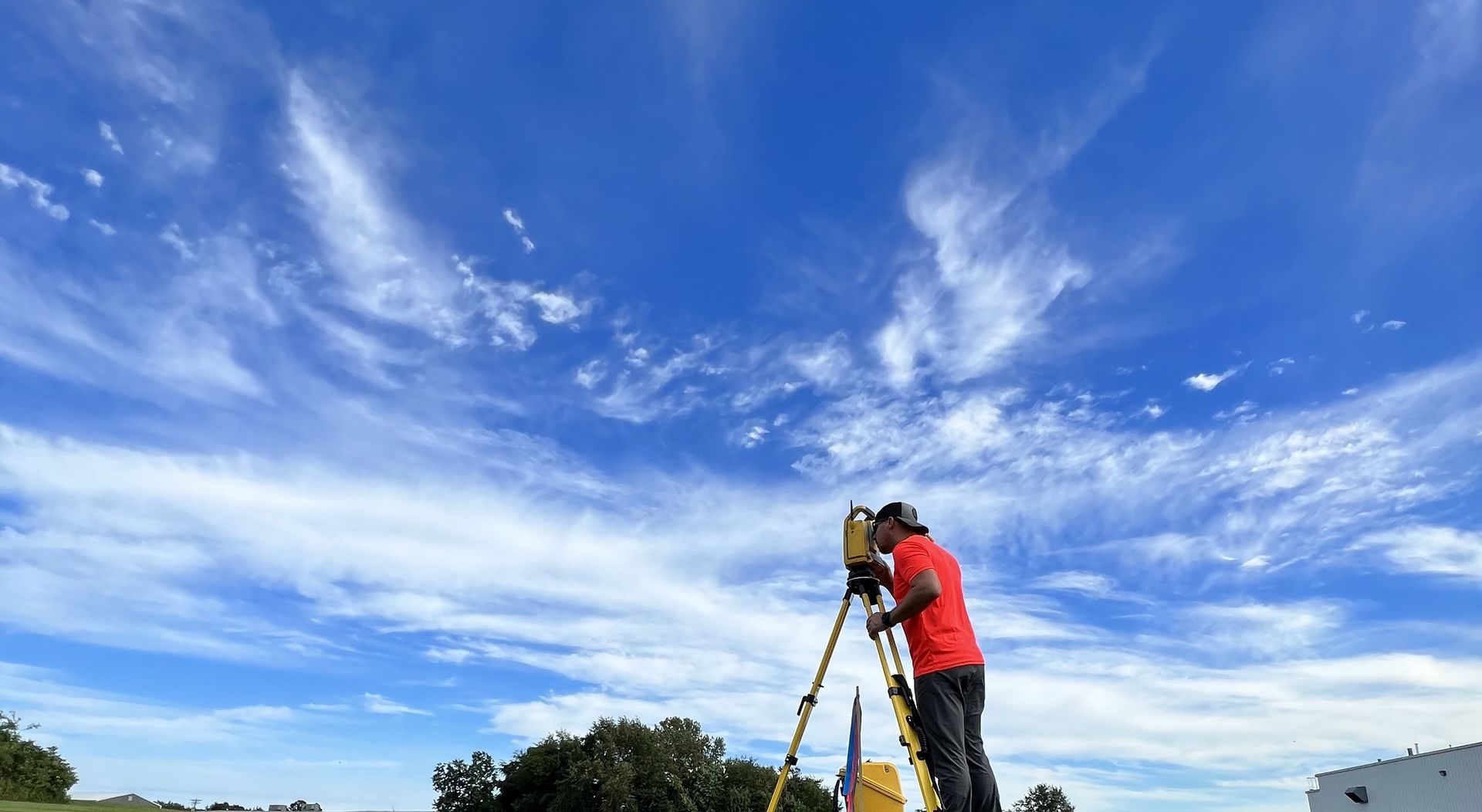
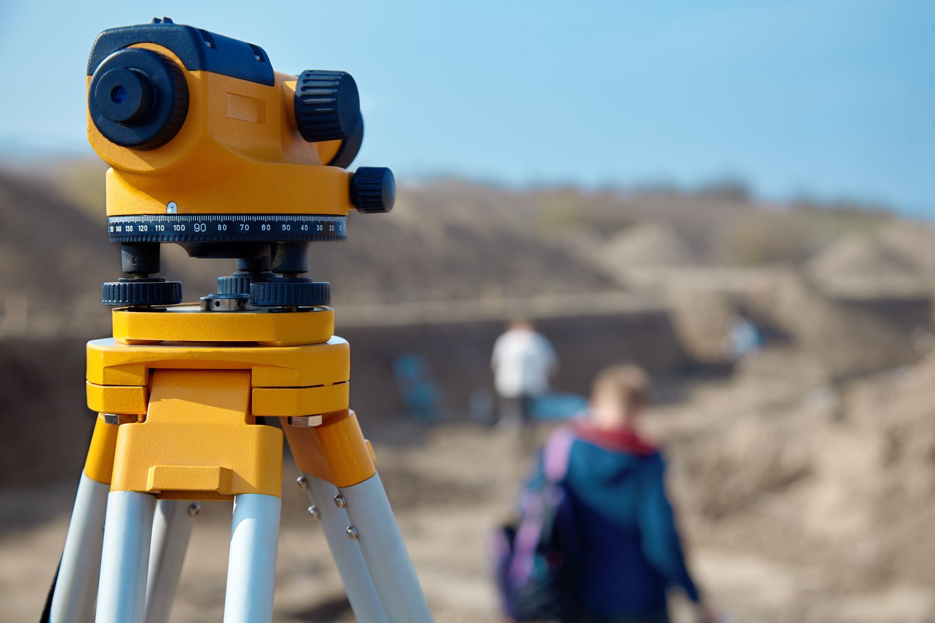
5. Hire a Professional Land Surveyor When in doubt or if you require precise and legally binding information about your property line, hiring a professional land surveyor is the best course of action. Land surveyors are trained and licensed professionals who specialize in accurately measuring and mapping property boundaries.


At Hester Precision Surveys, our team of experienced surveyors uses state-of-the-art equipment and techniques to provide you with reliable and detailed surveys that meet your specific needs. A boundary survey conducted by a professional land surveyor involves a thorough examination of your property, including research on historical documents, physical measurements, and the placement of boundary markers. The survey results will be documented in a report or plat, which clearly delineates the boundaries of your property. This information is invaluable for resolving boundary disputes, obtaining building permits, and ensuring compliance with local regulations.


Determining the location of your property line is a critical aspect of property ownership that should not be overlooked. By following the steps outlined in this guide and seeking assistance from a professional land surveyor when needed, you can gain a clear understanding of your property boundaries and avoid potential conflicts in the future. If you're in Bowling Green, KY, and require expert land surveying services, contact Hester Precision Surveys today for a consultation. Our team is dedicated to providing you with accurate and reliable surveying solutions tailored to your specific needs.

July 20, 2024
A land survey does more than just define property lines – it reveals the intricate details of the land beneath your feet. At Hester Precision Surveys, we specialize in topographic and utility mapping, providing critical insights that go far beyond simple boundaries. What is Topographic Mapping? Topographic mapping is the art of creating a detailed 3D representation of the Earth's surface. It includes the elevation of the land, the location of natural features like hills, valleys, and bodies of water, as well as man-made structures like roads, buildings, and retaining walls. This comprehensive view of the landscape is essential for various projects, including: Site Planning and Design: Architects, engineers, and developers use topographic maps to plan construction projects, ensuring they fit seamlessly into the existing terrain. Environmental Assessments: Topographic maps help identify potential environmental hazards, such as flood zones, landslide-prone areas, and areas with sensitive ecosystems. Infrastructure Planning: Topographic data is used to plan roads, bridges, and other infrastructure projects, ensuring they are safe and efficient. Resource Management: Topographic maps are used to assess the availability of natural resources, such as timber, minerals, and water. The Importance of Utility Mapping Beneath the surface of the land lies a complex network of utilities, including water pipes, sewer lines, gas lines, electrical cables, and communication lines. Utility mapping identifies the location of these buried assets, which is crucial for several reasons: Preventing Damage: Utility mapping helps prevent accidental damage during construction projects, avoiding costly repairs and potential safety hazards. Planning and Maintenance: Knowing the location of utilities allows for efficient planning and maintenance, minimizing disruption to services. Emergency Response: In the event of a utility outage or leak, utility maps can help emergency responders quickly locate the problem and take corrective action. Hester Precision Surveys: Your Partner in Topographic and Utility Mapping At Hester Precision Surveys, we use advanced technology and proven techniques to create accurate and detailed topographic and utility maps. Our team of experienced surveyors has the expertise to handle projects of any size or complexity. Whether you're a developer planning a new subdivision, an engineer designing a road, or a homeowner considering a landscaping project, we can provide you with the information you need to make informed decisions. Contact us today to learn more about our topographic and utility mapping services.
July 20, 2024
Have you ever wondered about the boundaries of your property? Or perhaps you're considering a construction project and need to know the lay of the land. This is where land surveying comes in, and it's more critical than you might think. Let's tackle one of the most common questions we get at Hester Precision Surveys: Why is a land survey important? The Foundation of Property Ownership A land survey is essentially the legal definition of your property. It determines the exact boundaries, size, and shape of your land, ensuring you know what you own – and what you don't. This knowledge is essential for several reasons: Avoiding Disputes : A survey prevents disagreements with neighbors over property lines, potentially saving you from costly legal battles. Building with Confidence: If you're planning construction, a survey ensures your project stays within your property boundaries, avoiding legal issues and costly revisions. Selling Your Property: A survey can help expedite the selling process by providing potential buyers with accurate information about the land they're purchasing. Resolving Legal Matters: Surveys are often required for legal purposes, such as dividing property, settling disputes, or obtaining permits. When You Absolutely Need a Land Survey While a land survey is always a wise investment, there are specific situations where it's non-negotiable: Buying or Selling Property: A survey is essential to ensure you know exactly what you're buying or selling, protecting both the buyer and seller from surprises down the line. Building or Renovating: Before breaking ground, a survey helps ensure your project complies with local regulations and avoids encroaching on neighboring properties. Resolving Property Disputes: If you're in a dispute with a neighbor over property lines, a survey can provide the definitive answer and help resolve the issue. Subdividing Land: Dividing land into smaller parcels requires a survey to accurately define the new boundaries and ensure compliance with local regulations. Trust the Experts at Hester Precision Surveys At Hester Precision Surveys, we have years of experience providing accurate and reliable land surveying services. Our team uses state-of-the-art technology and adheres to the highest industry standards, ensuring you have the precise information you need. If you're unsure whether you need a land survey, don't hesitate to contact us. We'll be happy to discuss your situation and help you determine the best course of action. Remember, a land survey is an investment in your peace of mind and the future of your property. Make the smart choice – contact Hester Precision Surveys today.
April 26, 2024
Land Surveyors in Bowling Green, KY
March 19, 2024
This is a subtitle for your new post
January 17, 2024
ALTA Surveys: Unveiling the Power of Precision with Hester Precision Surveys
Share by: