Land Surveying Services
Best Land Surveying in Kentucky
Hester Precision Surveys Services

ALTA/NSPS Survey
ALTA surveys, also known as American Land Title Association surveys, are comprehensive land surveys that adhere to a set of standards established by the ALTA/NSPS. These surveys provide detailed information about a property's boundaries, improvements, easements, and other important features.
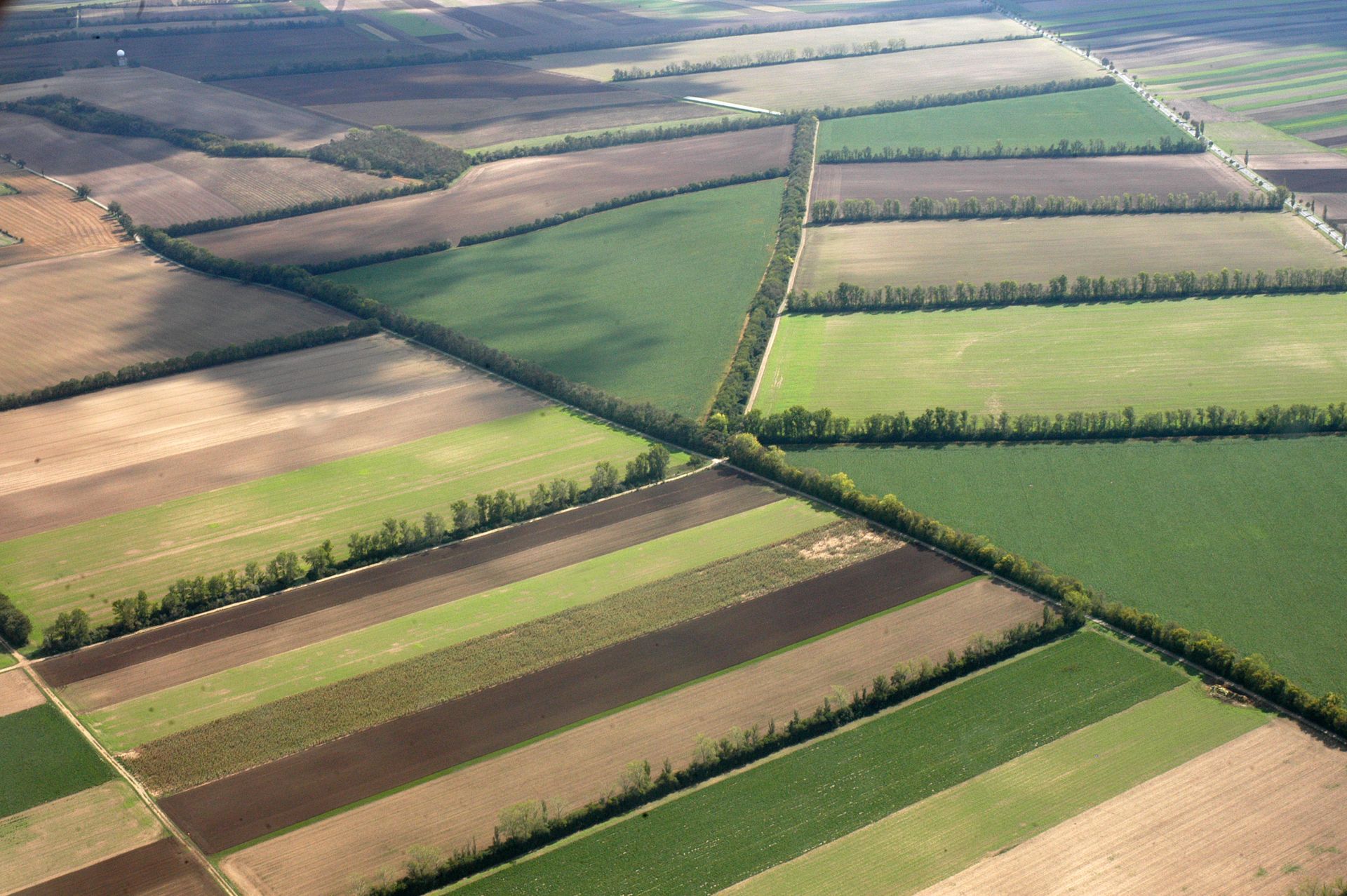
Farm Surveys
Farm surveys are land surveys specifically tailored to agricultural properties, providing detailed information about boundaries, topography, soil types, and drainage patterns. These surveys are essential for farmers and landowners to optimize land use, plan irrigation systems, and comply with government regulations.

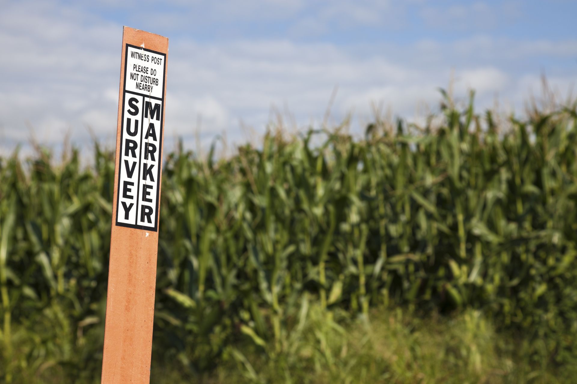
Partial Boundary Surveys
Boundary surveys are land surveys that determine the exact legal boundaries of a property, including any easements or encroachments. These surveys are crucial for property owners, developers, and real estate professionals to prevent boundary disputes and ensure accurate property lines for construction or land use purposes.
FEMA Surveys
FEMA surveys, conducted by the Federal Emergency Management Agency, assess flood risks and determine flood zones in a given area. These surveys are used to create flood maps and inform property owners, insurance companies, and government agencies about potential flood hazards and mitigation measures.
Hester Precision Surveys is always working hard for your. Managing your property is vital to sustainability. Call our team at any time to schedule an appointment. We would be more than happy to help with any land surveying needs.